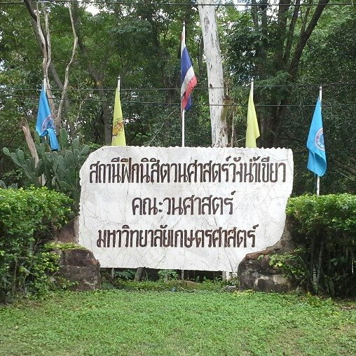

Faculty of Forestry Research Station
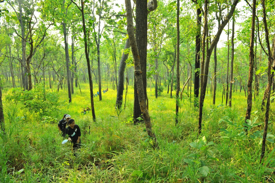
Serving as a hub for research, learning, and conservation, this field-based facility supports studies in natural forests, forest plantations, biodiversity, carbon sequestration, and climate adaptation. It features long-term monitoring plots, experimental plantation areas, and tools for remote sensing and ecological data collection. With access to satellite imagery, meteorological data, and forest inventory systems, the station enables hands-on training in sustainable forestry, silviculture, and ecosystem management, contributing to both academic advancement and practical forest stewardship.
Our Research Station
Dataset

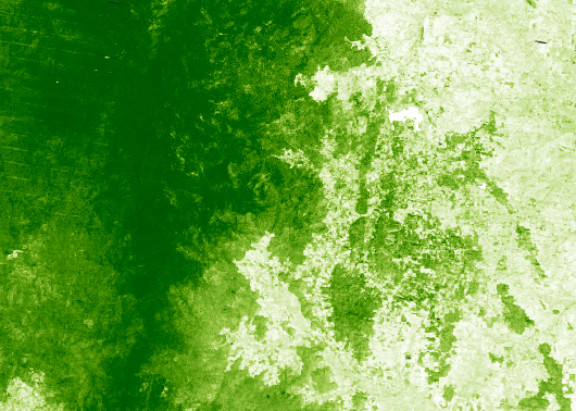
NDVI is a widely used vegetation index derived from satellite imagery that measures the density and health of plant growth. Calculated using red and near-infrared bands: (NIR - Red) / (NIR + Red).

NDVI is a widely used vegetation index derived from satellite imagery that measures the density and health of plant growth. Calculated using red and near-infrared bands: (NIR - Red) / (NIR + Red).
Canopy cover refers to the proportion of an area covered by the vertical projection of tree crowns. Important for understanding forest structure, biodiversity, and habitat quality.
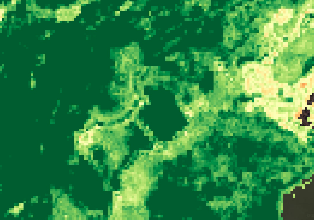
Canopy cover refers to the proportion of an area covered by the vertical projection of tree crowns. Important for understanding forest structure, biodiversity, and habitat quality.