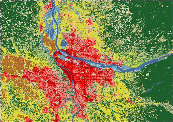
Land use & land cover
Classified land use and land cover across the station network, for tracking landscape change and forest conversion.
Highlights
Classified land use and land cover across the station network, for tracking landscape change and forest conversion.
More to explore
NDVI, NDWI and NBR composites derived from OLI/TIRS surface reflectance.
→ 02 Sentinel‑2 spectral indicesTen-metre composites from the ESA Copernicus twin-satellite constellation.
→ 03 MODIS burned areaFire mapping and burn extent for wildfire impact and post-fire recovery.
→ 04 Tree canopy coverProportion of ground under the vertical projection of tree crowns.
→ 05 Above-ground carbonCarbon stock monitoring from remote sensing and field measurement.
→ 06 WorldClim bioclimatic variablesNineteen variables derived from monthly temperature and rainfall normals.
→ 07 Landsat 9 spectral indicesContinues the Landsat record with the OLI-2 and TIRS-2 instruments.
→ 08 Landsat 5 spectral indicesNearly three decades of continuous land-surface observation.
→ 09 Landsat 4 spectral indicesThematic Mapper imagery — the earliest record in this catalogue.
→