Dataset

13 June 2025 | By Team KUFF
Dataset Availability: July 1982 - December 1993
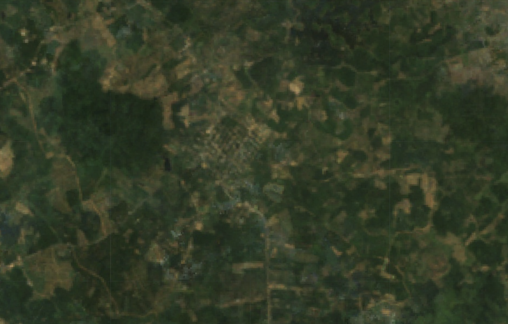
Landsat 4 marked a significant advance in remote sensing with the introduction of the Thematic Mapper (TM) sensor, offering improved spatial and spectral resolution for Earth observation.
13 June 2025 | By Team KUFF
Dataset Availability: March 1984 - January 2013
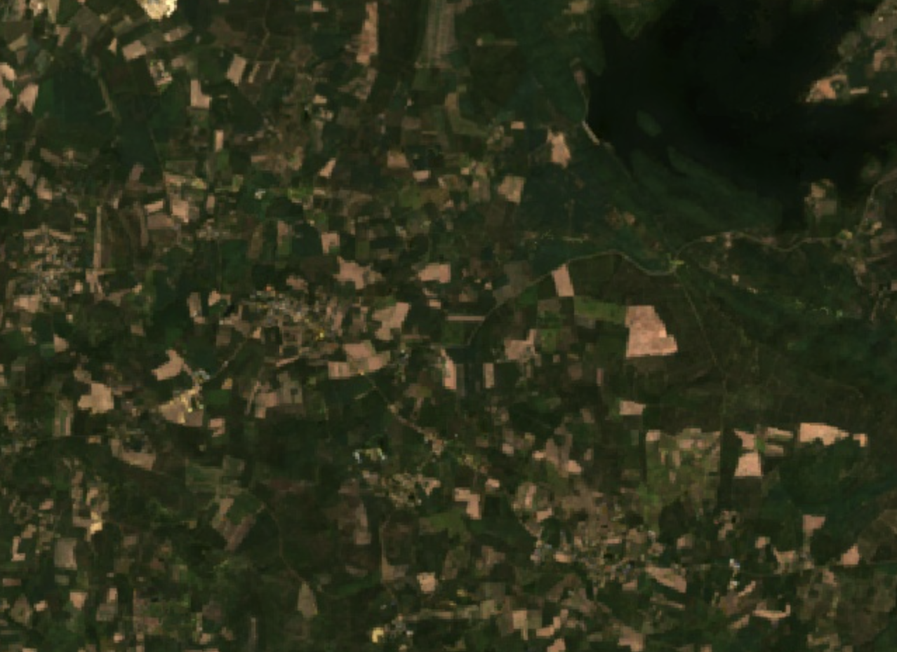
Landsat-5: A Stalwart Observer of a Changing Planet Landsat-5 was a remarkably successful Earth-observing satellite that provided a continuous and invaluable record of our planet's land surfaces for nearly three decades.

13 June 2025 | By Team KUFF
Dataset Availability: February 2013 - Present
Landsat 8 is part of the Landsat program, a joint mission between NASA and the U.S. Geological Survey (USGS). It is the eighth satellite in a long-running program.
13 June 2025 | By Team KUFF
Dataset Availability: September 2021 - Present
Landsat 9 continues the unparalleled record of Earth observation, ensuring that sustainable land management decisions are based on the best available science and data.

13 June 2025 | By Team KUFF
Dataset Availability: June 2015 - Present
Sentinel-2 is a mission developed by the European Space Agency (ESA) as part of the Copernicus Programme. It consists of a constellation of two identical satellites.
13 June 2025 | By Team KUFF
Dataset Availability: 2000 - Present
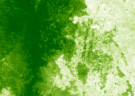
Canopy cover refers to the proportion of an area covered by the vertical projection of tree crowns. It is an important metric for understanding forest structure.
13 June 2025 | By Team KUFF
Dataset Availability: 1960 - 1990
WorldClim V1 Bioclim provides bioclimatic variables that are derived from the monthly temperature and rainfall.
13 June 2025 | By Team KUFF
Dataset Availability: 2010 - Present
Monitoring above-ground carbon stocks using remote sensing and field measurements. Essential for carbon accounting, climate change mitigation, and forest management strategies.
13 June 2025 | By Team KUFF
Dataset Availability: February 2000 - Present
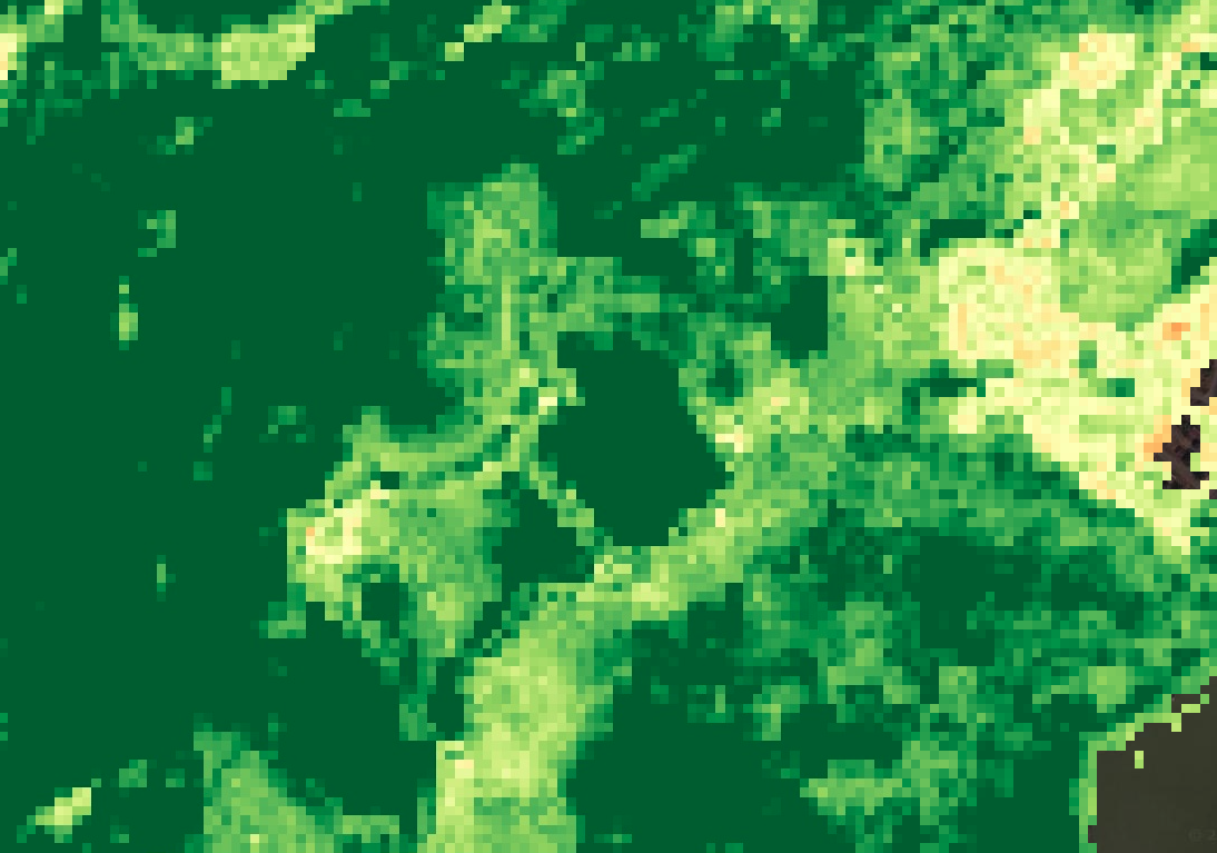
MODIS provides daily global vegetation indices at coarse resolution (250m-1km), ideal for monitoring large-scale vegetation dynamics and phenology patterns over time.
13 June 2025 | By Team KUFF
Dataset Availability: November 2000 - Present
MODIS Burned Area Product provides global fire mapping and burn area extent at 500m resolution. Essential for monitoring wildfire impacts, carbon emissions estimation, and post-fire recovery assessment.
13 June 2025 | By Team KUFF
Dataset Availability: 2000 (SRTM)
High-resolution terrain data including elevation, slope, and aspect. Critical for understanding topographic influence on forest structure, hydrology, and species distribution.
13 June 2025 | By Team KUFF
Dataset Availability: 2017
Comprehensive soil data including texture, pH, organic matter, and nutrient content. Essential for understanding site quality, forest productivity, and ecosystem functioning.
13 June 2025 | By Team KUFF
Dataset Availability: 1981 - Present
Long-term precipitation and meteorological records from station weather sensors and satellite products. Crucial for drought monitoring, water balance studies, and climate impact assessment.
13 June 2025 | By Team KUFF
Dataset Availability: 2010 - 2020
Above and below-ground biomass estimates derived from field measurements, allometric equations, and remote sensing. Key for carbon stock assessments and sustainable forest management.
13 June 2025 | By Team KUFF
Dataset Availability: 2000 - Present
Time-series analysis of forest change, including deforestation, degradation, and fire events. Supports conservation efforts, illegal logging detection, and ecosystem health monitoring.